03 About Surrey
A city of town centres
Surrey covers a large area between the Fraser River and the US border, and it has grown into the second most populous city in British Columbia. Rather than one downtown, it is organized around six town centres: City Centre (Whalley), Guildford, Fleetwood, Newton, Cloverdale and South Surrey, each with its own shopping, parks and character.
The land is the territory of Coast Salish peoples, including the Semiahmoo, Katzie, Kwantlen and others. Settlers arrived in the 1800s to farm and log, and the municipality was incorporated in 1879, with its first town centre at Cloverdale. Bridges across the Fraser, and later the SkyTrain, turned Surrey into a fast-growing suburb, and it became a city in 1993.
Who lives here
Surrey is one of the most diverse places in Canada. It has a large South Asian community, centred especially in Newton and along Scott Road, as well as many Filipino, Chinese, Korean, Middle Eastern and African families. That shows in the food, festivals and places of worship across the city.
Getting a feel for the city
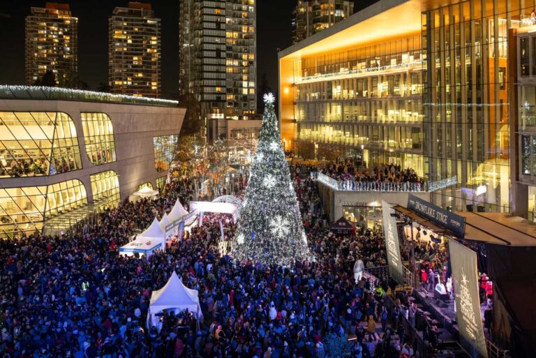
- North Surrey is the most urban part, with towers and civic buildings around Surrey Central station and the big mall at Guildford.
- Central Surrey includes Fleetwood, Newton and Cloverdale, with family neighbourhoods, community centres and heritage main streets.
- South Surrey is greener and closer to the ocean, with farmland, forests and the beaches of Crescent Beach next door to White Rock.
Surrey has a huge park system, from forested Green Timbers and Tynehead to Bear Creek Park, Redwood Park and the bird-rich shores of Boundary Bay. Distances are big, so plan your day around one or two areas rather than trying to see the whole city at once. In summer, add a beach stop at Crescent Beach, and in May, time a visit with the Cloverdale Rodeo.