City guide · North Shore & Howe Sound
West Vancouver city guide
Seawall villages, old-growth parks and Cypress Mountain on a quiet stretch of coast from the Lions Gate Bridge to Horseshoe Bay.
01 At a glance
Welcome to West Vancouver
West Vancouver is a long, quiet coastal municipality between the Lions Gate Bridge and Horseshoe Bay, where waterfront villages, beaches and forested parks sit below Cypress Mountain. It suits visitors who love seaside walks, hiking and skiing, and residents who want calm, leafy neighbourhoods close to downtown Vancouver.
- Vibe
- Calm, coastal, leafy
- Best for
- Seawall strolls, coastal parks and Cypress
- Getting around
- Blue Bus, R2 RapidBus & Horseshoe Bay ferries
West Vancouver at a glance
West Vancouver stretches along the north shore of Burrard Inlet and Howe Sound, from the Capilano River to Horseshoe Bay and beyond. It is a long, narrow municipality squeezed between the sea and the mountains: the shoreline is a chain of small beaches, coves and rocky points, and the hillside above climbs steeply through residential neighbourhoods to Cypress Provincial Park.
The feel is quiet, green and residential. There is no large downtown. Instead, life centres on a few waterfront villages along Marine Drive: Ambleside, the main commercial area with a long beach park and seawall; Dundarave, a smaller village with a pier and shops a little further west; Park Royal, the big shopping centre at the north end of the Lions Gate Bridge; and Horseshoe Bay, the ferry village at the western tip. In between are neighbourhoods such as the British Properties, Caulfeild and Eagle Harbour.
West Vancouver had 44,122 residents in the 2021 Census. It is known for spacious homes, large mature trees and ocean views, and it attracts families, retirees and people who want a calm, nature-focused place to live close to downtown Vancouver.
A short history
West Vancouver lies within the territory of the Squamish Nation (Sḵwx̱wú7mesh Úxwumixw), whose people have lived, fished and travelled along this coast for thousands of years. A Coast Salish village at Sandy Cove is the earliest known settlement in the area, and Squamish Nation community lands remain at the eastern end of the municipality near the Capilano River.
Captain George Vancouver named Point Atkinson in 1792. The first non-Indigenous resident, John “Navvy Jack” Thomas, settled near the mouth of the Capilano River in the 1860s and supplied gravel to the young city across the water, which is why “navvy jack” is still a local term for that mix of sand and stone. Land developers began to promote the waterfront early in the 1900s, and in the early 1900s a regular ferry from the dock at the foot of 17th Street in Ambleside began linking the area to Vancouver. In 1912, residents of the western part of the District of North Vancouver voted to form their own municipality, and West Vancouver was incorporated.
The big change came in the 1930s, when the Guinness family’s British Pacific Properties bought a large tract of hillside land for the British Properties development and helped finance the Lions Gate Bridge, which opened in 1938. With a bridge to downtown, the ferry service ended in 1947 and the population grew quickly. Park Royal, which opened in 1950 and is often described as Canada’s first shopping centre, followed. Since then West Vancouver has kept a largely residential character, with careful limits on commercial and high-rise development.
Top things to do in West Vancouver
Parks and coastline
- Lighthouse Park: old-growth forest, granite bluffs and the Point Atkinson Lighthouse, with views back toward Stanley Park and downtown. Trails range from easy loops to rocky scrambles.
- Whytecliff Park: a rocky cove near Horseshoe Bay with a small beach and a tidal islet. It is regarded as one of the best scuba diving sites in Western Canada, and it is a lovely spot for sunset.
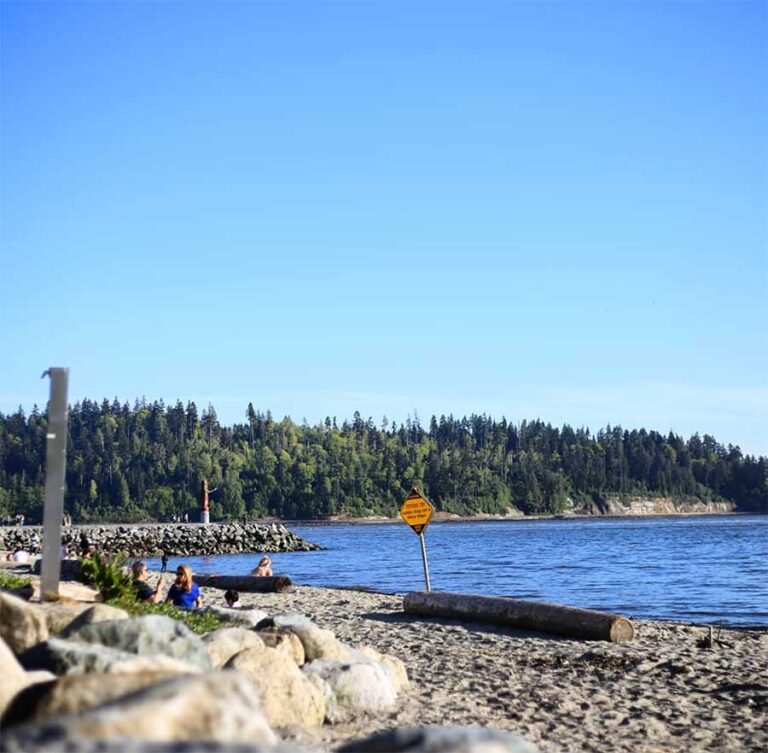
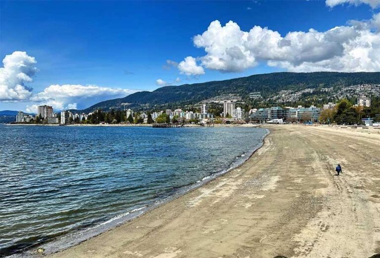
- Ambleside Park and the Seawall: a long sandy beach, playing fields and a waterfront walk with front-row views of the Lions Gate Bridge and ships coming in under it.
- Dundarave Pier and beach: a classic stroll from Ambleside along the seawall to the pier, with cafés at the end.
Mountains
- Cypress Provincial Park: skiing, snowboarding and snowshoeing in winter, and hiking with views over Howe Sound in summer. Cypress Mountain hosted freestyle skiing and snowboard events at the 2010 Winter Olympics.
- Cypress lookout: a viewpoint partway up the Cypress Bowl Road with a wide panorama over Vancouver, the Fraser delta and, on clear days, Mount Baker.
- Baden-Powell Trail: the long trail across the North Shore mountains finishes at Horseshoe Bay, with demanding sections through Cypress.
Villages and shopping
- Ambleside and Dundarave: browse the shops, galleries and cafés along Marine Drive; both villages are easy to explore on foot.
- Park Royal: a large shopping centre on both sides of Marine Drive with department stores, everyday shopping and an outdoor village-style section.
- Horseshoe Bay: watch the ferries come and go, walk the little waterfront park and take a harbour boat tour or a ferry hop to Bowen Island.
Arts and culture
Ambleside has a small arts district near the waterfront, including a public art gallery in the restored ferry building by the old dock and the West Vancouver Art Museum. The Harmony Arts Festival takes over the Ambleside waterfront each summer with outdoor concerts, artisan markets and food stalls.
A day along Marine Drive
West Vancouver is easy to explore as one long, scenic drive or bus ride. Start with a morning walk on the Ambleside seawall, then follow the water west to Dundarave Pier for coffee. Continue along Marine Drive as it winds past rocky coves and grand old houses to Lighthouse Park for a forest loop down to the lighthouse viewpoint. Finish at Horseshoe Bay or Whytecliff Park for a late lunch and the sunset over Howe Sound. If you have a car, end the day at the Cypress lookout to watch the city lights come on below.
Food and drink
West Vancouver’s dining scene follows Marine Drive. Ambleside has the widest choice, from Japanese, Persian and other international kitchens to bistros, bakeries and brunch spots, and most of it is within a few blocks of the beach. Dundarave is smaller and a little more relaxed, with cafés and casual restaurants close to the pier, ideal after a seawall walk.
Horseshoe Bay is the place for fish and chips by the water and a drink while you wait for a ferry. Park Royal has a large mix of chain restaurants, quick bites and grocery options. In general, restaurants here are spread out and lean toward neighbourhood favourites rather than late-night scenes, so plan dinner reservations on weekends.
Where to stay
West Vancouver has relatively few hotels, which is part of its quiet character. Park Royal and the area near the Lions Gate Bridge are the most practical choices: buses to downtown Vancouver leave often, and you are close to shopping and the North Shore mountains.
Ambleside and Dundarave are lovely bases for a slower stay, with the beach, seawall and restaurants on the doorstep, though accommodation is mostly small-scale and short-term rentals. Horseshoe Bay suits travellers catching an early ferry to Vancouver Island, the Sunshine Coast or Bowen Island, or heading up the Sea-to-Sky Highway toward Squamish and Whistler.
Getting around
Buses to downtown Vancouver: the West Vancouver Blue Bus, run by the District as part of the TransLink network, connects West Vancouver with downtown Vancouver over the Lions Gate Bridge. Route 250 runs between Horseshoe Bay, Dundarave, Ambleside, Park Royal and downtown, and other routes serve Caulfeild, the British Properties and Capilano University. Park Royal is the main transfer point.
RapidBus: the R2 Marine-Willingdon RapidBus starts at Park Royal and runs east across the North Shore via Lonsdale Quay and Phibbs Exchange. Since September 2026 it continues all day over the Ironworkers Memorial Second Narrows Crossing to Metrotown Station in Burnaby, with SkyTrain connections at Brentwood Town Centre and Metrotown.
Ferries: BC Ferries’ Horseshoe Bay terminal has routes to Departure Bay in Nanaimo, to Langdale on the Sunshine Coast and to Snug Cove on Bowen Island. Reservations are recommended for vehicles in summer and on holiday weekends.
Driving: Marine Drive is the scenic waterfront road through the villages. Highway 1, the Upper Levels Highway, runs along the hillside and connects to Highway 99, the Sea-to-Sky Highway, at Horseshoe Bay. The Lions Gate Bridge is the direct link to Stanley Park and downtown, and it often backs up at rush hour.
Walking and cycling: the seawall from Ambleside to Dundarave is flat and easy. Away from the water, the slopes are steep, so cycling in West Vancouver is easiest along Marine Drive or with an e-bike.
Seasons and events
West Vancouver shares the mild, wet climate of the North Shore, with plenty of rain from autumn to spring and warm, dry summers. Winter brings snow to Cypress while the waterfront usually stays green, so it is easy to ski in the morning and walk the seawall in the afternoon. Summer evenings on the beach at Ambleside or Dundarave are some of the best on the coast. Autumn storms, meanwhile, make for dramatic wave-watching from the rocks at Lighthouse Park and Whytecliff.
- Harmony Arts Festival: a free summer festival on the Ambleside waterfront with music, art and food. In 2026 it ran from 31 July to 9 August.
- Coho Festival: a family festival in Ambleside Park celebrating salmon and environmental stewardship, held each September by the Coho Society of the North Shore. The 2026 edition took place on 13 September.
- Ski season at Cypress: the mountain usually opens in early winter, depending on snow, with skiing, snowboarding, cross-country trails and snowshoeing.
Living in West Vancouver
West Vancouver is mostly single-family homes, many on large lots with forest or ocean views, particularly in the British Properties, Caulfeild and the upper slopes. Apartments and condos are concentrated in Ambleside, Dundarave and the area near Park Royal, which suit downsizers and people who prefer to walk to shops and the beach. Prices are high even by Metro Vancouver standards, so budget accordingly.
Public schools are run by West Vancouver School District 45, and the community also has several well-known independent schools. Capilano University in the District of North Vancouver is the closest post-secondary campus, and downtown Vancouver’s universities and colleges are reachable by bus.
The municipality suits people who value nature, quiet streets and outdoor recreation: hiking and skiing at Cypress, beach walks every evening and easy access to the ferries and the Sea-to-Sky corridor. Everyday shopping is centred on Park Royal and the Marine Drive villages.
Each neighbourhood has its own character. Ambleside and Dundarave are the most walkable, with apartments and older houses close to the shops and the seawall. The British Properties climb the slope above Park Royal, with large homes and big views. Further west, Caulfeild, Eagle Harbour and Whytecliff feel almost rural, with winding roads, rocky shoreline and forest at the end of the street. Horseshoe Bay is a small, self-contained village built around the ferry terminal and the marina.
Practical notes: many neighbourhoods are hilly and spread out, so most residents rely on a car, though the Blue Bus network is handy for commuting downtown. Wildlife, including black bears in the upper neighbourhoods, is part of life here, and local bylaws on garbage and wildlife attractants are taken seriously. Check commute times over the Lions Gate Bridge at rush hour before you choose where to live.
03 Don’t miss
Top things to do in West Vancouver
- 01
Lighthouse Park
Old-growth forest and granite bluffs around the Point Atkinson Lighthouse.
- 02
Ambleside Park and Seawall
Sandy beach and waterfront path facing the Lions Gate Bridge.
- 03
Dundarave Pier
Seawall stroll to a village pier, beach and cafés.
- 04
Whytecliff Park
Rocky cove and tidal islet near Horseshoe Bay, famous for scuba diving.
- 05
Cypress Provincial Park
2010 Olympic ski venue with winter sports and summer hikes over Howe Sound.
- 06
Horseshoe Bay
Ferry village with harbour views, boat tours and sailings to Bowen Island.
- 07
Harmony Arts Festival
Free summer arts and music festival on the Ambleside waterfront.
- 08
Park Royal
Large shopping centre at the north end of the Lions Gate Bridge.
04 Neighbourhoods
Explore West Vancouver neighbourhood by neighbourhood
- West VancouverAmblesideWest Vancouver's town centre by the sea, with a long beach park, a waterfront…
- West VancouverCaulfeildOne of West Vancouver's oldest communities, with winding lanes, a historic church, a rocky…
- West VancouverDundaraveA small seaside village built around a pier, with a sandy beach, a waterfront…
- West VancouverHorseshoe BayA harbour village at the entrance to Howe Sound, where ferries leave for the…
On the map
Around West Vancouver
West Vancouver Blue Bus routes, including the 250, link Horseshoe Bay, Dundarave, Ambleside and Park Royal with downtown Vancouver over the Lions Gate Bridge. The R2 Marine-Willingdon RapidBus starts at Park Royal and runs across the North Shore to Metrotown, and BC Ferries sails from Horseshoe Bay to Nanaimo, the Sunshine Coast and Bowen Island.
- Miraas Restaurant & Bar West VancouverMiddle Eastern RestaurantsView →
- Wooden Fish West VancouverRestaurantView →
- Ancora Ambleside West VancouverJapanese RestaurantsView →
 Shah Cafe & Bar - 281 17th St, West VancouverBars & PubsView →
- Swad Indian Kitchen West VancouverIndian RestaurantsView →
- Hatam Restaurant West VancouverMiddle Eastern RestaurantsView →
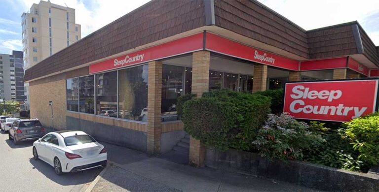
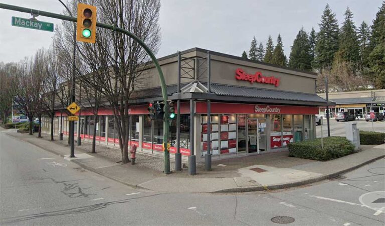
- Sleep Country - 1802 Marine Dr, West VancouverFurniture StoreView →
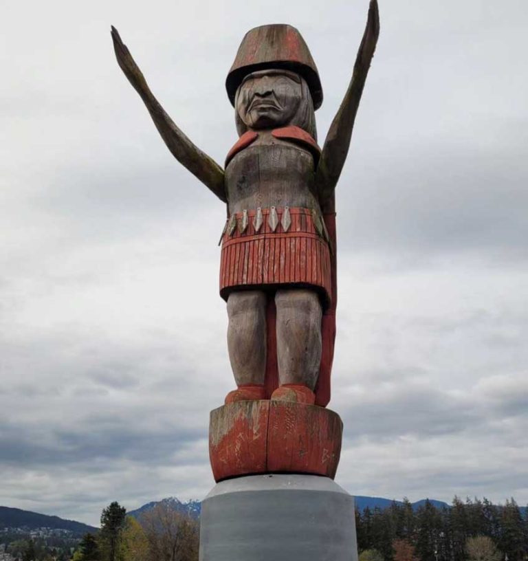
- Squamish Nation Welcome Figure in West Vancouver, BCView →
- Ambleside Park in West VancouverAttractionsView →
- Ambleside Beach West Vancouver: Seawalk, Dog Beach & Visitor TipsLocal AttractionsView →
- Lions Gate Bridge in VancouverLocal AttractionsView →
- Third Beach Vancouver: Stanley Park's Sunset Beach & Visitor TipsLocal AttractionsView →
- ArshaM__DjDJView →
- Capilano GlassConstruction & ContractorsView →
- Capilano Suspension Bridge ParkAttractionsView →
- Vancouver SeawallView →
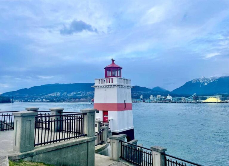
- Brockton Point LighthouseAttractionsView →
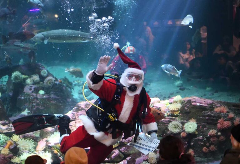
- Vancouver AquariumAttractionsView →
- Girl in a Wetsuit at Stanley ParkLocal AttractionsView →
- Diyar Restaurant North VancouverMiddle Eastern RestaurantsView →
- Second Beach Vancouver: Stanley Park Beach, Pool & Visitor TipsLocal AttractionsView →
- Bisou Bake House North VancouverBakeryView →
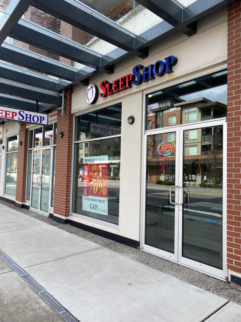
- Sleep Shop North VancouverFurniture StoreView →
- Gilaneh Grill House North VancouverMiddle Eastern RestaurantsView →
- Chelo Kitchen + Eatery North VancouverMiddle Eastern RestaurantsView →
- Sleep Country - 1020 Marine Dr, North VancouverFurniture StoreView →
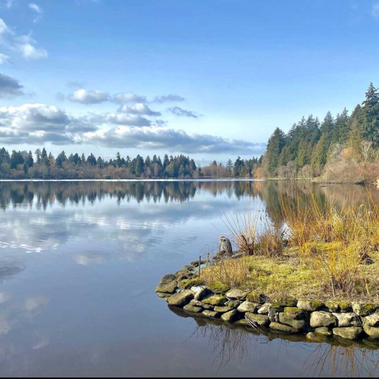
- Lost Lagoon in Stanley ParkAttractionsView →
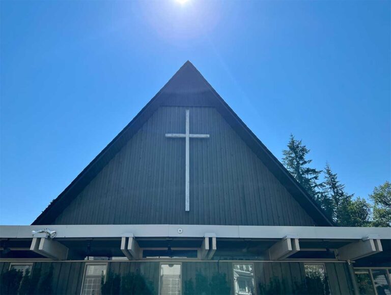
- Highlands United ChurchView →







Refresh & refuel
Where to eat & drink in West Vancouver
 0.3 kmShah Cafe & Bar - 281 17th St, West VancouverBars & Pubs281 17th St, West Vancouver, BC V7V 4T1, Canada
- 3.7 kmBisou Bake House North VancouverBakery1189 16th St W, North Vancouver, BC V7P 1R4, Canada
- 0.1 kmMiraas Restaurant & Bar West VancouverMiddle Eastern Restaurants1579 Bellevue Ave, West Vancouver, BC V7V 1A6
- 0.2 kmWooden Fish West VancouverRestaurant1403 Marine Dr, West Vancouver, BC V7T 1B8
- 0.3 kmAncora Ambleside West VancouverJapanese Restaurants1351 Bellevue Avenue, West Vancouver, BC V7T 2P9
- 0.3 kmSwad Indian Kitchen West VancouverIndian Restaurants1734 Marine Dr, West Vancouver, BC V7V 1J3
- 0.3 kmHatam Restaurant West VancouverMiddle Eastern Restaurants1747 Marine Dr, West Vancouver, BC V7V 1J5
- 3.6 kmDiyar Restaurant North VancouverMiddle Eastern Restaurants1480 Pemberton Ave, North Vancouver, BC V7P 2S1
- 3.7 kmGilaneh Grill House North VancouverMiddle Eastern Restaurants222 Pemberton Ave, North Vancouver, BC V7P 2R5
- 3.8 kmChelo Kitchen + Eatery North VancouverMiddle Eastern Restaurants1078 Marine Dr, North Vancouver, BC V7P 1S5
Get out there
Attractions in West Vancouver
- 0.7 kmSquamish Nation Welcome Figure in West Vancouver, BC1150 Marine Dr, West Vancouver, BC V7T 1B1, Canada
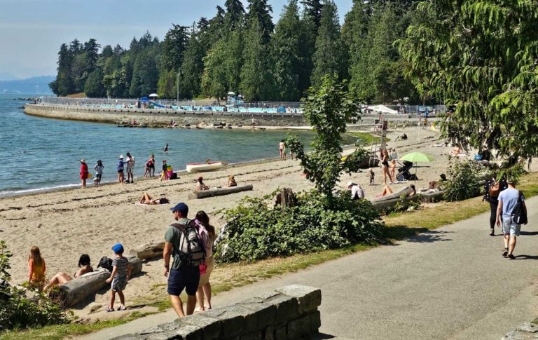
- 0.7 kmAmbleside Park in West VancouverAttractions1150 Marine Dr, West Vancouver, BC V7T 1B1, Canada
- 1.0 kmAmbleside Beach West Vancouver: Seawalk, Dog Beach & Visitor TipsLocal AttractionsArgyle Ave, West Vancouver, BC V7V 1A4, Canada
- 2.0 kmLions Gate Bridge in VancouverLocal AttractionsLions Gate Bridge, Lions Gate Bridge Rd, Vancouver, BC
- 2.7 kmThird Beach Vancouver: Stanley Park's Sunset Beach & Visitor TipsLocal Attractions8R3V+M9 Vancouver, BC, Canada
- 3.5 kmCapilano Suspension Bridge ParkAttractions3735 Capilano Rd, North Vancouver, BC V7R 4J1, Canada
- 3.5 kmVancouver SeawallVancouver, BC V6G 3E2, Canada
- 3.5 kmBrockton Point LighthouseAttractionsVancouver, BC V6G 3E2, Canada
- 3.6 kmVancouver AquariumAttractions845 Avison Way, Vancouver, BC, Canada
- 3.6 kmGirl in a Wetsuit at Stanley ParkLocal Attractions2743 Stanley Park Dr, Vancouver, BC V6G 3E2, Canada
- 3.7 kmSecond Beach Vancouver: Stanley Park Beach, Pool & Visitor TipsLocal Attractions7RWX+7P Vancouver, British Columbia, Canada
- 4.0 kmLost Lagoon in Stanley ParkAttractionsLost Lagoon Path, Vancouver, BC, Canada
What’s on
Upcoming events in West Vancouver
Own a business in West Vancouver?
Get discovered by locals and visitors planning their time in the city.
FAQ
West Vancouver: good to know
How do I get to West Vancouver from downtown Vancouver?
Take a West Vancouver Blue Bus, such as route 250, from downtown over the Lions Gate Bridge to Park Royal, Ambleside, Dundarave or Horseshoe Bay. By car, cross the Lions Gate Bridge through Stanley Park.
How do I get there from YVR?
By transit, take the Canada Line to downtown and transfer to a Blue Bus heading over the Lions Gate Bridge. By car, drive through Vancouver to the Lions Gate Bridge; allow extra time at rush hour.
Where do ferries leave from in West Vancouver?
Horseshoe Bay. BC Ferries sails from there to Departure Bay (Nanaimo), Langdale (Sunshine Coast) and Snug Cove (Bowen Island). Vehicle reservations are a good idea in summer.
What is the best beach in West Vancouver?
Ambleside is the largest and easiest to reach, with a long sandy beach and seawall. Dundarave is smaller and village-like, while Whytecliff and Lighthouse Park offer rockier, more scenic coves.
When is the best time to visit?
Summer, for beach evenings, the Harmony Arts Festival and hiking at Cypress. Winter is wet on the coast but brings skiing and snowshoeing at Cypress.
Is West Vancouver good for families?
Yes. Calm beaches, playgrounds at Ambleside, easy forest trails at Lighthouse Park and family ski programs at Cypress make it a relaxed choice for children.
Sources for the facts on this page
- Statistics Canada, 2021 Census of Population: West Vancouver (DM), population 44,122 (as reported by North Shore News, 2022)
- Statistics Canada 2021 Census land area for West Vancouver (DM), 87.18 km², as given in the Wikipedia article 'West Vancouver'
- Daily Hive, 'Kirk LaPointe elected as the next mayor of West Vancouver' (18 Oct 2026)
- Global News, 'B.C. municipal election 2026: latest updates, polls and results' (Oct 2026)
- Daily Hive, Mayor Kirk LaPointe's inaugural speech (Nov 2026)
- District of West Vancouver election site, nomination documents (candidate spelling 'K. LaPointe')
- TransLink Buzzer, 'Major R2 RapidBus extension provides all-day service from Park Royal to Metrotown' (Sept 2026)
- Wikipedia, 'West Vancouver Blue Bus' and 'Park Royal Exchange' (routes)
- Wikipedia, 'Horseshoe Bay ferry terminal' (routes 2, 3 and 8)
- District of West Vancouver, 'Festival returns July 31 – August 9, 2026' (Harmony Arts Festival)
- District of West Vancouver, '2026 Coho Festival' (13 Sept 2026, Ambleside Park)
- Wikipedia, 'West Vancouver' and 'Ambleside, West Vancouver' (history, Lions Gate Bridge 1938, Park Royal 1950, ferry 1909 to 1947)
Keep exploring
Nearby city guides
- Vancouver & Burrard Peninsula · 5.7 kmVancouverOcean, mountains and a walkable downtown: Vancouver puts beaches, forest trails and world-class food…
- North Shore & Howe Sound · 5.7 kmNorth Vancouver (City)The walkable Lonsdale side of the North Shore: waterfront market, Shipyards and galleries, a…
- North Shore & Howe Sound · 8.5 kmNorth Vancouver (District)Canyons, rainforest and ski hills: Lynn Valley, Deep Cove, Edgemont and the mountains of…
- North Shore & Howe Sound · 14.2 kmBowen IslandA short ferry ride from Horseshoe Bay: forest trails, a harbour village and island…
- North Shore & Howe Sound · 15.6 kmLions BayA small village on the Sea-to-Sky Highway with sheltered beaches below and some of…
- Vancouver & Burrard Peninsula · 16.0 kmBurnabyBig parks, two SkyTrain lines and some of the region's best Asian food, right…