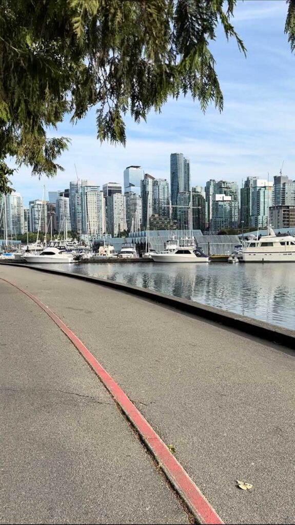
Few cities put serious hiking this close to downtown. Within 30 minutes of Vancouver you can walk through old-growth rainforest, climb to granite viewpoints over the ocean and stand on mountain summits looking back at the skyline. Metro Vancouver’s trails range from flat lakeside loops for families to some of the toughest day hikes in Canada.
This guide covers the best hiking trails in Metro Vancouver, organised by area and difficulty, with links to a detailed Vancouver Page listing for every trail, including distance, elevation gain, trailhead, parking, transit and safety tips. We have also included a few must-do day trips up the Sea-to-Sky Highway.
Best hikes in Metro Vancouver at a glance
- Best easy hike: Quarry Rock in Deep Cove
- Best family walk: Rice Lake Loop and Lower Falls Trail Golden Ears
- Best view for the effort: Dog Mountain Trail and Bowen Lookout Trail
- Best mountain views: Eagle Bluffs Trail and St. Mark’s Summit
- Best workout: Grouse Grind and the Coquitlam Crunch
- Best lake hike: Buntzen Lake Trail
- Toughest classics: The Lions via Binkert Trail and Golden Ears Summit Trail
- Best day trips: Stawamus Chief Trail and Garibaldi Lake Trail
Before you go: hiking safety in Vancouver
North Shore trails look close to the city, but they are real mountain terrain. North Shore Rescue, one of Canada’s busiest search and rescue teams, responds to many calls every year, often for hikers who underestimated the trail, the weather or the daylight.
- Carry the 10 essentials: light, signalling device, fire starter, extra food and water, extra clothing, navigation, first aid kit, emergency shelter, a knife and sun protection.
- Leave a trip plan with someone at home, for example using AdventureSmart’s free trip plan.
- Check snow levels. Higher trails on Cypress, Seymour and Golden Ears can hold snow from November into July; use microspikes or wait for summer.
- Start early and watch daylight, especially from October to March when it gets dark before 5 pm.
- Respect wildlife. Black bears are common; make noise, keep dogs leashed, store food properly and never feed animals.
- Check passes and parking. BC Parks requires free day-use passes for some trailheads in peak season, including Golden Ears and Garibaldi, and some parking lots fill or charge fees.
- Stay on marked trails and turn back if weather or conditions change.
Hiking trails in North Vancouver
The District of North Vancouver has the densest network of trails in the region, from easy canyon loops to steep mountain climbs, many reachable by bus.
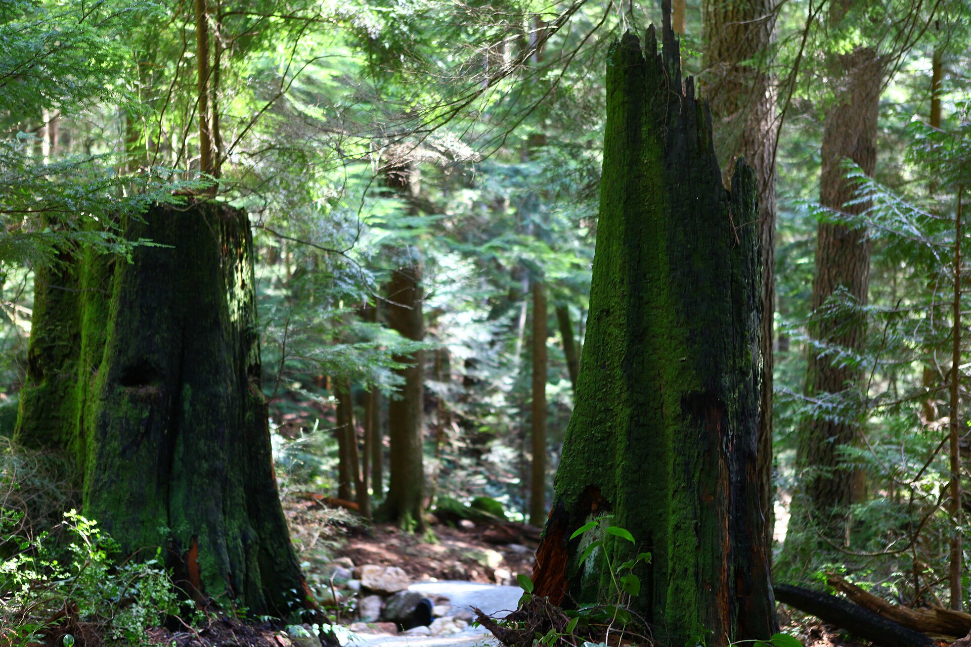
- Grouse Grind (2.9 km one way, about 850 m gain, hard): Known as “Mother Nature’s Stairmaster”, the Grouse Grind is Vancouver’s most famous workout: a relentless climb of roughly 2,800 steps through forest to the top of Grouse Mountain.
- BCMC Trail (about 3 km one way, about 850 m gain, hard): Built by the British Columbia Mountaineering Club, the BCMC Trail is the quieter, more natural alternative to the Grouse Grind, climbing the same mountain on a rougher forest trail.
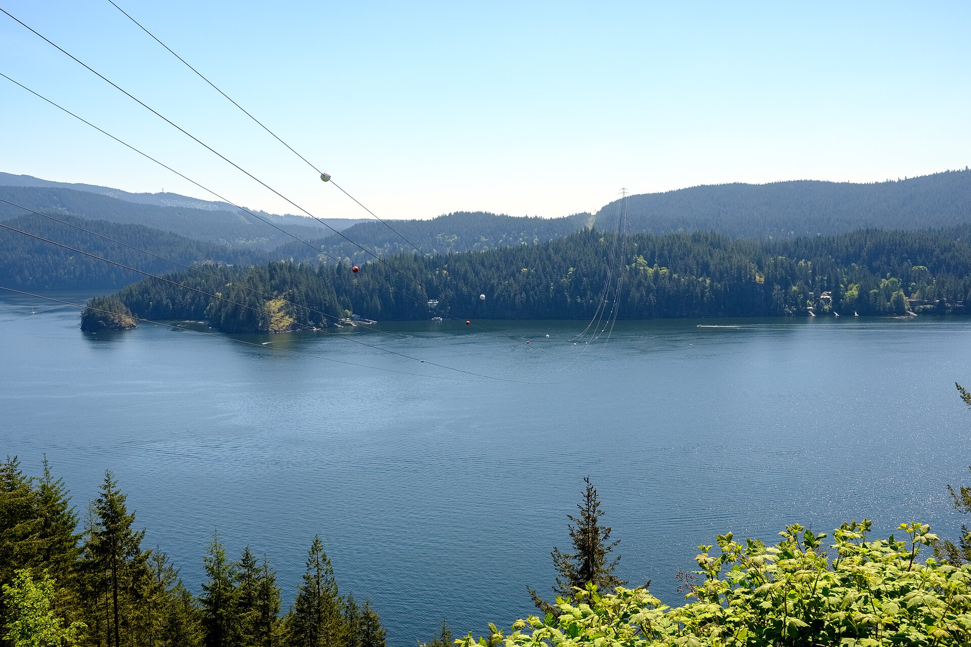
- Quarry Rock (about 3.8 km return, about 100 m gain, easy to moderate): The classic Deep Cove hike to a granite bluff over Indian Arm; short, busy and beautiful.
- Lynn Canyon Suspension Bridge (about 2 km loop, minimal gain, easy): The free suspension bridge over Lynn Canyon, with forest loops to the 30 Foot Pool.
- Lynn Loop Trail (about 5 km loop, about 220 m gain, easy to moderate): The Lynn Loop is one of the best introductions to North Shore rainforest: a varied loop with big trees, mossy forest, a short climb and a flat return along Lynn Creek.
- Lynn Peak Trail (about 9 km return, about 720 m gain, moderate to hard): Lynn Peak is a steady forest climb to a viewpoint looking over Seymour Valley, the city and the Fraser Valley, a good training hike close to town.
- Norvan Falls (about 14 km return, about 300 m gain, moderate): A long, gentle forest walk along Lynn Creek to a waterfall in Lynn Headwaters.
- Rice Lake Loop (about 3 km loop, minimal gain, easy): Rice Lake is one of the easiest and most family-friendly walks on the North Shore, a flat gravel loop around a calm forest lake with a wheelchair- and stroller-friendly path.
- Dog Mountain Trail (about 5 km return, about 100 m gain, easy to moderate): Dog Mountain gives one of the best views of Vancouver for the effort, a short, rooty forest trail to a rocky bluff overlooking the city, the Fraser River and, on clear days, Mount Baker.
- Mount Seymour Trail (about 9 km return, about 450 m gain, moderate to hard): The Mount Seymour Trail climbs past the ski runs to First Pump, Second Pump and the true summit, with sweeping views of Indian Arm, the city and the Coast Mountains.
- Baden-Powell Trail (about 48 km end to end, varies by section gain, moderate to hard): The Baden-Powell Trail is the North Shore’s long-distance trail, built in 1971 by Scouts and Guides, linking Horseshoe Bay with Deep Cove across West and North Vancouver.
Hiking trails in West Vancouver, Cypress and Lions Bay
Cypress Provincial Park, a 30-minute drive from downtown, holds some of the best view hikes near the city, all starting from a high trailhead.
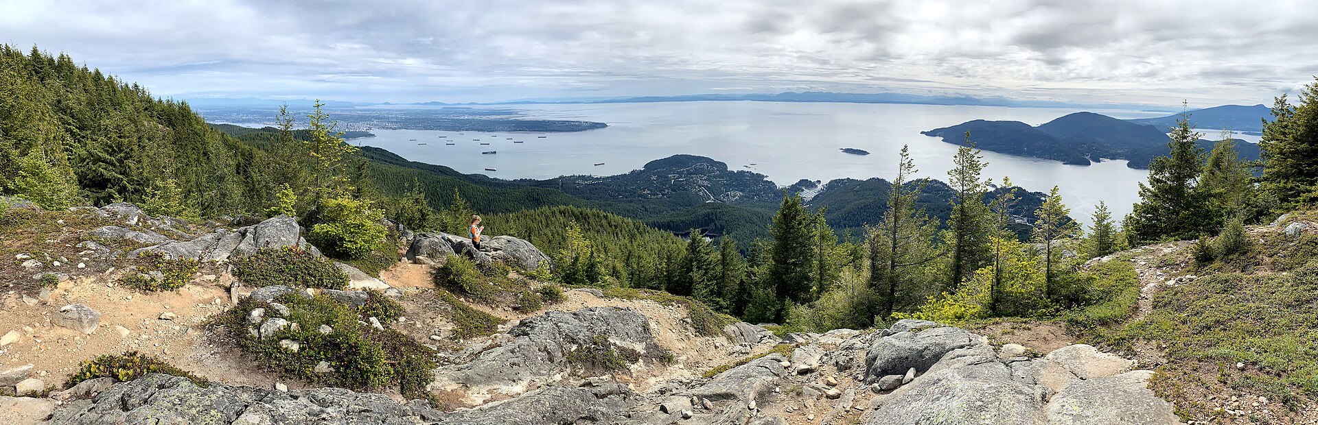
- Eagle Bluffs Trail (about 8 km return, about 350 m gain, moderate): Eagle Bluffs is one of the best viewpoints near Vancouver, a granite bluff looking down on Horseshoe Bay, Howe Sound, Bowen Island and the city.
- St. Mark’s Summit (about 11 km return, about 460 m gain, moderate): St.
- Hollyburn Mountain Trail (about 7 km return, about 400 m gain, moderate): Hollyburn Mountain offers big views of the Lions, Howe Sound and the city from an accessible summit, and is one of the most popular snowshoe climbs in winter.
- Black Mountain Loop (about 7.5 km loop, about 300 m gain, moderate): The Black Mountain Loop is a satisfying half-day in Cypress Provincial Park, linking subalpine lakes, meadows and two viewpoints over Howe Sound.
- Bowen Lookout Trail (about 3 km return, about 100 m gain, easy): Bowen Lookout is the easiest view hike in Cypress Provincial Park, a short forest walk to a viewpoint over Howe Sound and Bowen Island.
- The Lions via Binkert Trail (about 15 km return, about 1,280 m gain, very hard): The Lions are Vancouver’s most recognisable peaks, and the Binkert Trail from Lions Bay is a long, steep and demanding day hike to the base of the West Lion.
Hiking trails in Tri-Cities, Belcarra and Anmore
Port Moody, Coquitlam, Belcarra and Anmore offer lake loops, inlet walks and ridge views over Indian Arm.
- Jug Island Beach Trail (about 5.5 km return, about 200 m gain, moderate): The Jug Island Beach Trail winds through forest to a small pebble beach facing tiny Jug Island and the fjord of Indian Arm, a great half-day escape.
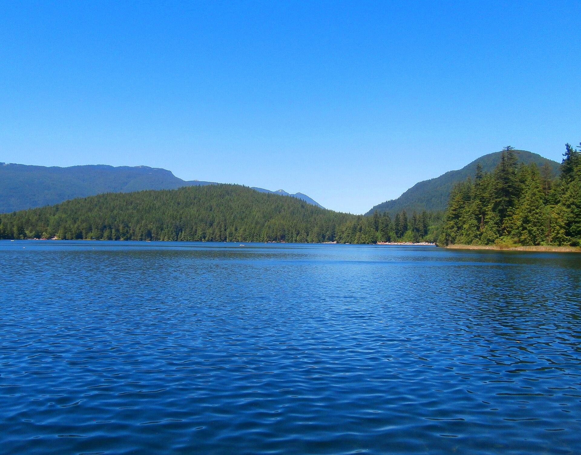
- Buntzen Lake Trail (about 10 km loop, about 200 m gain, moderate): The Buntzen Lake Trail loops around one of the prettiest lakes near Vancouver, with turquoise water, forest, beaches and a floating bridge.
- Diez Vistas Trail (about 15 km loop with Buntzen Lake, about 600 m gain, moderate to hard): Diez Vistas, Spanish for “ten views”, climbs Buntzen Ridge to a string of viewpoints over Indian Arm, Deep Cove and the city, then returns along Buntzen Lake.
- Shoreline Trail Port Moody (about 3 km one way, flat gain, easy): Port Moody’s Shoreline Trail is a flat, scenic walk along the water between Rocky Point Park and Old Orchard Park, with boardwalks, marshes and inlet views.
- Coquitlam Crunch (about 2.2 km one way, about 240 m gain, moderate): The Coquitlam Crunch is the Tri-Cities’ answer to the Grouse Grind, a steep, wide trail and staircase under the power lines with a view over the Fraser River at the top.
- High Knoll Trail (about 5 km loop, about 150 m gain, easy to moderate): High Knoll is a rocky viewpoint in Minnekhada Regional Park looking over marshes, the Pitt River and Pitt Meadows farmland.
Hiking trails in Burnaby
Burnaby has gentle city trails that are perfect for a quick nature fix by SkyTrain.
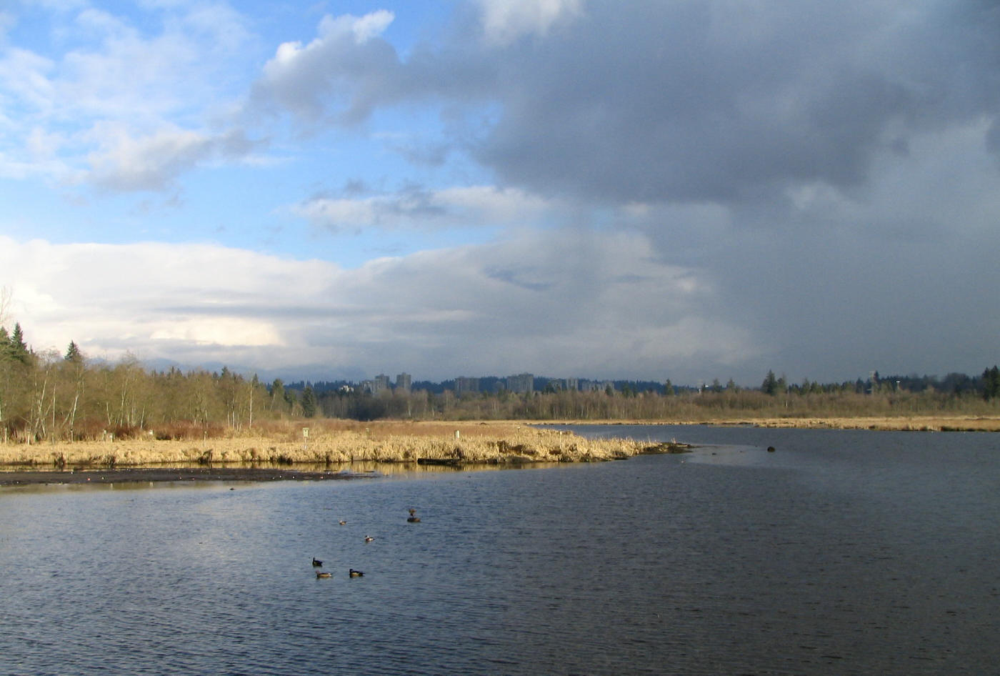
- Burnaby Lake Loop (about 10 km loop, flat gain, easy): The Burnaby Lake Loop is a flat, peaceful walk around a wildlife-rich lake in the middle of the city, popular with birders, runners and families.
Hiking trails in Maple Ridge and Golden Ears
Maple Ridge is the gateway to Golden Ears Provincial Park, with family waterfall walks and one of the toughest summits in the region.
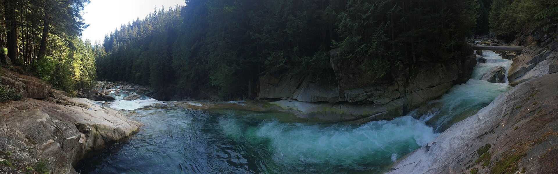
- Lower Falls Trail Golden Ears (about 5.5 km return, minimal gain, easy): The Lower Falls Trail follows clear Gold Creek through forest to a powerful waterfall, one of the most popular family hikes in the Fraser Valley.
- Cliff Falls Trail Kanaka Creek (about 2 km loop, minimal gain, easy): Cliff Falls is a short, scenic loop to a series of waterfalls tumbling through a sandstone canyon in Kanaka Creek Regional Park.
- Golden Ears Summit Trail (about 24 km return, about 1,500 m gain, very hard): The Golden Ears summit trail is one of the toughest classic hikes in the Lower Mainland, a long, steep route to the peaks that dominate the Fraser Valley skyline.
Hiking trails in Squamish and Garibaldi
An hour or so up the Sea-to-Sky Highway are some of BC’s most famous hikes.
- Stawamus Chief Trail (about 4 km return to First Peak; about 11 km for all three peaks, about 550–700 m gain, hard): The Stawamus Chief is the giant granite monolith above Squamish, and its hiking trail is one of the most popular in BC, climbing steep stairs, ladders and chains to three summits with huge views of Howe Sound.
- Sea to Summit Trail (about 7.5 km one way, about 920 m gain, hard): The Sea to Summit Trail climbs from sea level near Shannon Falls to the top of the Sea to Sky Gondola, with views of the Chief and Howe Sound and a gondola ride down.
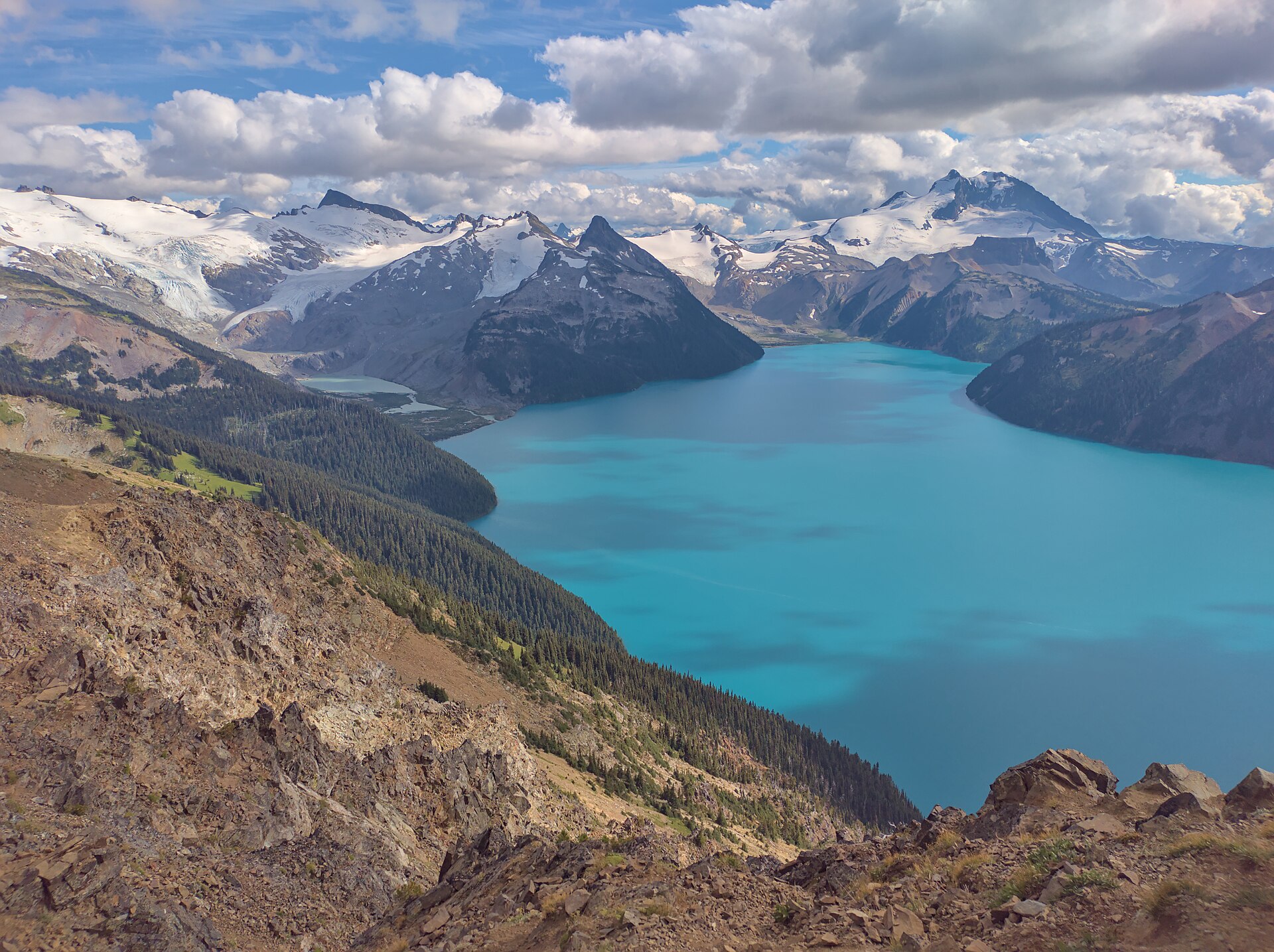
- Garibaldi Lake Trail (about 18 km return, about 820 m gain, moderate to hard): Garibaldi Lake is the famous turquoise lake below glaciers in Garibaldi Provincial Park, reached by a long, steady switchback trail and one of the most rewarding day hikes in BC.
Metro Vancouver hikes by difficulty
| Trail | Area | Distance | Elevation gain | Difficulty |
|---|---|---|---|---|
| Lynn Canyon Suspension Bridge | North Vancouver | about 2 km loop | minimal | Easy |
| Rice Lake Loop | North Vancouver | about 3 km loop | minimal | Easy |
| Bowen Lookout Trail | West Vancouver, Cypress and Lions Bay | about 3 km return | about 100 m | Easy |
| Shoreline Trail Port Moody | Tri-Cities, Belcarra and Anmore | about 3 km one way | flat | Easy |
| Burnaby Lake Loop | Burnaby | about 10 km loop | flat | Easy |
| Lower Falls Trail Golden Ears | Maple Ridge and Golden Ears | about 5.5 km return | minimal | Easy |
| Cliff Falls Trail Kanaka Creek | Maple Ridge and Golden Ears | about 2 km loop | minimal | Easy |
| Quarry Rock | North Vancouver | about 3.8 km return | about 100 m | Easy to moderate |
| Lynn Loop Trail | North Vancouver | about 5 km loop | about 220 m | Easy to moderate |
| Dog Mountain Trail | North Vancouver | about 5 km return | about 100 m | Easy to moderate |
| High Knoll Trail | Tri-Cities, Belcarra and Anmore | about 5 km loop | about 150 m | Easy to moderate |
| Norvan Falls | North Vancouver | about 14 km return | about 300 m | Moderate |
| Eagle Bluffs Trail | West Vancouver, Cypress and Lions Bay | about 8 km return | about 350 m | Moderate |
| St. Mark’s Summit | West Vancouver, Cypress and Lions Bay | about 11 km return | about 460 m | Moderate |
| Hollyburn Mountain Trail | West Vancouver, Cypress and Lions Bay | about 7 km return | about 400 m | Moderate |
| Black Mountain Loop | West Vancouver, Cypress and Lions Bay | about 7.5 km loop | about 300 m | Moderate |
| Jug Island Beach Trail | Tri-Cities, Belcarra and Anmore | about 5.5 km return | about 200 m | Moderate |
| Buntzen Lake Trail | Tri-Cities, Belcarra and Anmore | about 10 km loop | about 200 m | Moderate |
| Coquitlam Crunch | Tri-Cities, Belcarra and Anmore | about 2.2 km one way | about 240 m | Moderate |
| Lynn Peak Trail | North Vancouver | about 9 km return | about 720 m | Moderate to hard |
| Mount Seymour Trail | North Vancouver | about 9 km return | about 450 m | Moderate to hard |
| Baden-Powell Trail | North Vancouver | about 48 km end to end | varies by section | Moderate to hard |
| Diez Vistas Trail | Tri-Cities, Belcarra and Anmore | about 15 km loop with Buntzen Lake | about 600 m | Moderate to hard |
| Garibaldi Lake Trail | Squamish and Garibaldi | about 18 km return | about 820 m | Moderate to hard |
| Grouse Grind | North Vancouver | 2.9 km one way | about 850 m | Hard |
| BCMC Trail | North Vancouver | about 3 km one way | about 850 m | Hard |
| Stawamus Chief Trail | Squamish and Garibaldi | about 4 km return to First Peak; about 11 km for all three peaks | about 550–700 m | Hard |
| Sea to Summit Trail | Squamish and Garibaldi | about 7.5 km one way | about 920 m | Hard |
| The Lions via Binkert Trail | West Vancouver, Cypress and Lions Bay | about 15 km return | about 1,280 m | Very hard |
| Golden Ears Summit Trail | Maple Ridge and Golden Ears | about 24 km return | about 1,500 m | Very hard |
Distances and elevation gains are approximate and vary by route and starting point.
Hikes you can reach by transit
You do not need a car for many great hikes. These trailheads are on or near bus and SkyTrain routes:
- Grouse Grind and BCMC Trail: SeaBus to Lonsdale Quay, then bus 236.
- Quarry Rock: bus to Deep Cove.
- Lynn Canyon Suspension Bridge and Lynn Loop Trail: buses to Lynn Valley.
- Burnaby Lake Loop: Sperling–Burnaby Lake SkyTrain Station.
- Shoreline Trail Port Moody: Moody Centre SkyTrain Station.
- Sections of the Baden-Powell Trail: Horseshoe Bay, Cleveland Dam, Lynn Canyon and Deep Cove.
Best time to hike in Vancouver
- July to September: the best season for mountain hikes such as Eagle Bluffs, St. Mark’s, Mount Seymour, The Lions and Garibaldi Lake, once the snow has melted.
- Spring and fall: great for low-elevation trails like Quarry Rock, Lynn Loop, Buntzen Lake and Golden Ears Lower Falls. Expect mud and rain.
- Winter: stick to low trails, or try snowshoeing on Dog Mountain, Hollyburn and Cypress with the right gear and avalanche awareness. See our Vancouver weather guide for month-by-month conditions.
Parks with more trails to explore
- Pacific Spirit Regional Park: more than 70 km of forest trails between UBC and Vancouver
- Lynn Canyon Park: suspension bridge, canyon and the Baden-Powell Trail
- Capilano River Regional Park: canyon trails, the salmon hatchery and Cleveland Dam
- Lighthouse Park: old-growth forest and coastal bluffs in West Vancouver
- Mount Seymour Provincial Park: Dog Mountain, Mount Seymour and winter snowshoeing
- Cypress Provincial Park: Eagle Bluffs, St. Mark’s, Hollyburn and Black Mountain
- Burnaby Mountain Park: forest trails and views from the top of Burnaby Mountain
- Minnekhada Regional Park: marshes and knolls in Coquitlam
- Buntzen Lake Recreation Area: lakeside loops and Diez Vistas
- Golden Ears Provincial Park: waterfalls, Alouette Lake and big mountain hikes
- Stawamus Chief Provincial Park: the Chief’s three peaks above Squamish
- Garibaldi Provincial Park: Garibaldi Lake, Panorama Ridge and Black Tusk
Frequently asked questions
What is the most popular hike in Vancouver?
The Grouse Grind is the best known, followed by Quarry Rock in Deep Cove and the Stawamus Chief in Squamish.
What is the best easy hike in Vancouver?
Quarry Rock, Lynn Loop, Rice Lake, Bowen Lookout and the Lower Falls in Golden Ears are all great easy hikes.
Can you hike in Vancouver in winter?
Yes, on low-elevation trails. Higher trails are snow-covered from late fall to early summer and require snowshoes, traction devices and avalanche awareness.
Do I need a pass to hike near Vancouver?
Most trails are free. BC Parks requires a free day-use pass for some busy trailheads in peak season, such as Golden Ears and Garibaldi, and some parking lots charge fees.
Are there bears on Vancouver hiking trails?
Yes. Black bears are common on North Shore and Fraser Valley trails. Make noise, keep dogs leashed and never approach or feed them.
Which hikes near Vancouver have the best views?
Eagle Bluffs, St. Mark’s Summit, Dog Mountain, Quarry Rock, Diez Vistas, the Stawamus Chief and Garibaldi Lake are among the most scenic.
About this guide
Updated November 2026. Trail statistics are approximate and conditions change with weather and season. Always check official park websites (Metro Vancouver Regional Parks, BC Parks and municipal parks) for closures, passes and trail status before you go.
More local guides
- Shopping Malls in Metro Vancouver: Every Mall & Shopping Centre (2026 Guide)
- Best Time to Visit Vancouver: Month-by-Month Guide
- Things to Do in Vancouver Tonight
- Vancouver in December: Weather, Events and Things to Do
- Things to Do in Vancouver This Weekend (Nov 20–22, 2026)
- Vancouver in November: Weather, Events and Things to Do