03 About West Vancouver
A shoreline community
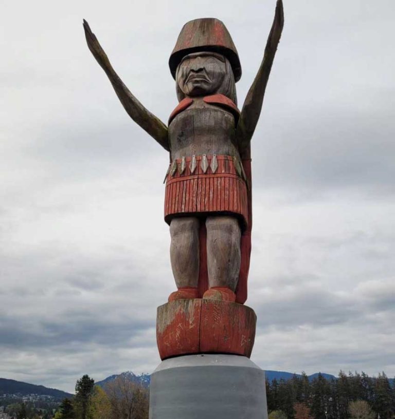
West Vancouver stretches for kilometres along the water, from the mouth of the Capilano River west past Lighthouse Park to Horseshoe Bay at the entrance to Howe Sound. The land rises steeply behind it, so most neighbourhoods have views of the ocean, the city or the islands of the Salish Sea. The area is part of the traditional territory of the Squamish Nation, whose community at the mouth of the Capilano River sits next to Ambleside and Park Royal.
The District of West Vancouver was incorporated in 1912. In its early decades, residents relied on a municipal ferry across Burrard Inlet to Vancouver. That changed after the Lions Gate Bridge opened in 1938, built by the same Guinness family interests that developed the British Properties on the hillside above.
Villages along Marine Drive
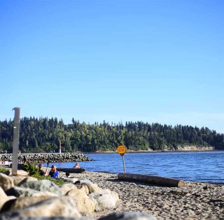
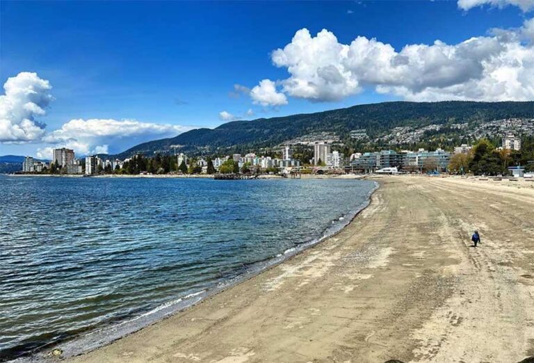
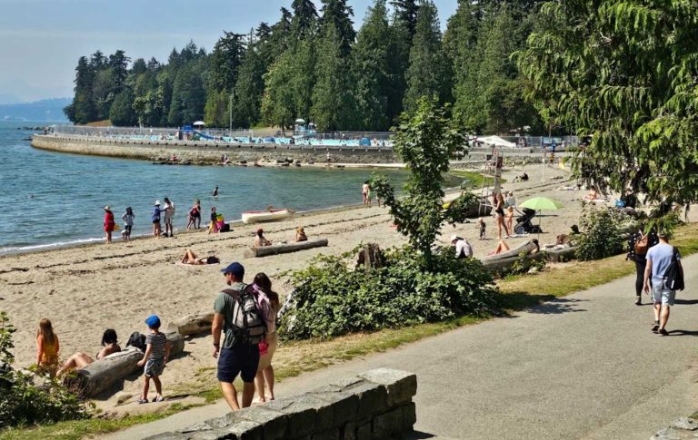
Marine Drive ties West Vancouver together. Near the east end, Park Royal is the main shopping centre, and Ambleside is the civic and commercial hub, with a long waterfront park and a seaside walk. Further west, Dundarave is a smaller village centred on its pier. The road then winds past rocky coves and homes to Caulfeild, one of the oldest planned communities in the area, and on to Horseshoe Bay, a harbour village beside the ferry terminal.
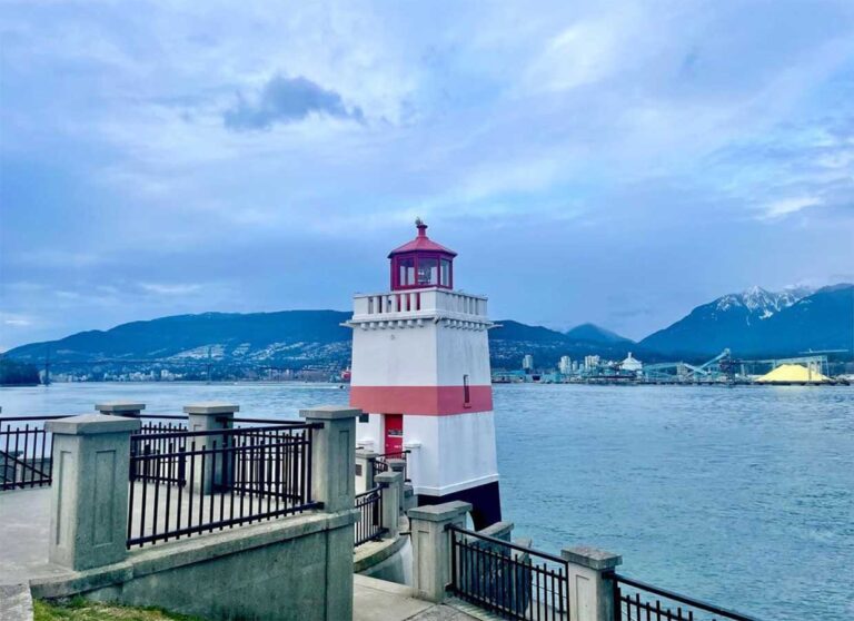
Above the shoreline, Cypress Provincial Park offers skiing, snowshoeing and summer hiking, and smaller parks such as Lighthouse Park, Whytecliff Park and Cypress Falls protect old forest and rugged shoreline.
Who it suits
West Vancouver is largely made up of single-family homes, with apartments concentrated around Ambleside and Dundarave. It is quieter than most of Metro Vancouver, and there is no SkyTrain, so most residents drive, though the Blue Bus network is handy along Marine Drive. It suits people who want beaches and trails on their doorstep, and visitors looking for an easy day out: a seawall stroll, lunch in a village and a sunset at a lighthouse.