03 About White Rock
A city named after a rock
White Rock takes its name from a large granite boulder on the beach, a glacial erratic left behind at the end of the last ice age. Seabird droppings once kept it bright white, and sailors used it as a landmark. Today the city repaints it to keep it white.
The Semiahmoo First Nation has lived on these shores for thousands of years, and its reserve lies just to the east. The Great Northern Railway opened the area to summer visitors in the early 1900s, running right along the shore, and the White Rock Pier opened in 1914. Feeling cut off from the rest of Surrey, residents pushed for their own municipality in the 1950s, and the City of White Rock was created in 1957.
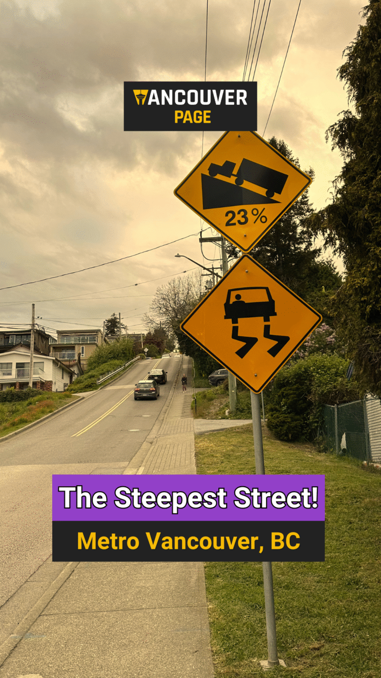
Beach below, town above
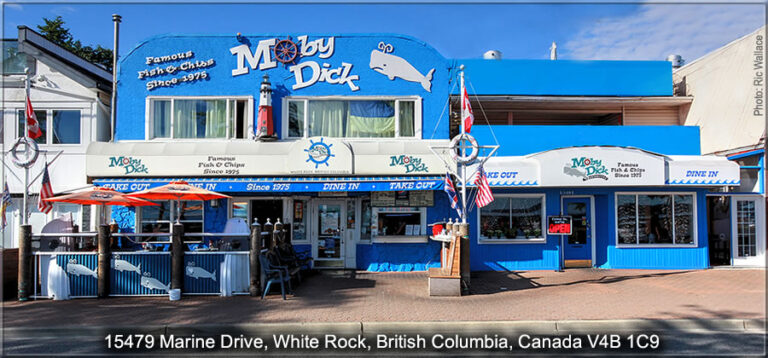
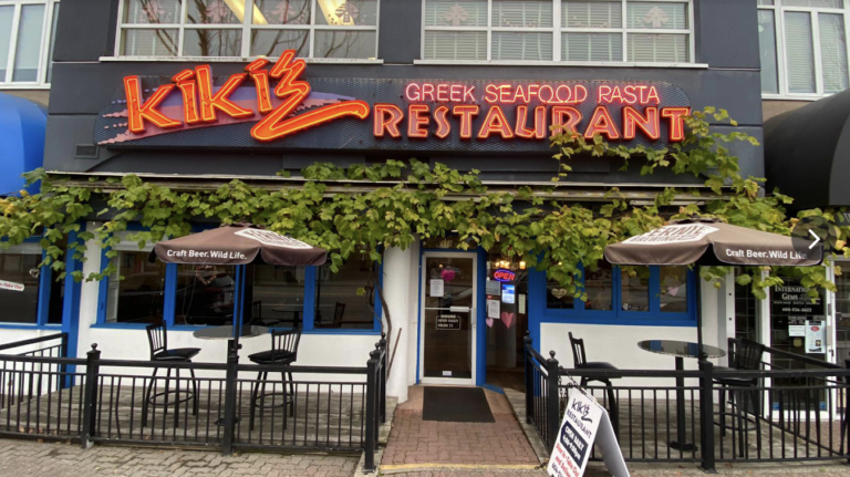
The city is built on a steep south-facing hillside. Down at the water, Marine Drive runs behind the beach, lined with restaurants, ice cream shops and patios. The promenade follows the shore for about 2.2 kilometres, with the pier near its middle. The waterfront is usually divided into:
- West Beach, home to the pier, the museum in the old railway station and the busiest stretch of Marine Drive.
- East Beach, with wider tidal flats, tide pools and a slightly quieter feel.
At the top of the hill, Uptown White Rock along Johnston Road is the everyday town centre, with shops, services, the community centre and newer condo towers. Semiahmoo Shopping Centre sits just across 16th Avenue in Surrey.
Tips for visiting
White Rock is one of the sunnier spots in Metro Vancouver and very busy on warm weekends. Arrive early for parking on Marine Drive, which is paid, or take the bus. Check the tide tables: at low tide the bay drains to reveal wide sand flats, while high tide is better for swimming and paddling. Trains still run along the promenade, so cross only at marked crossings. Bikes are not allowed on the promenade or pier, and dogs are only allowed on the promenade on a leash in the off-season.