
Advertisement
Description
High Knoll is a rocky viewpoint in Minnekhada Regional Park looking over marshes, the Pitt River and Pitt Meadows farmland.
The trail is in Minnekhada Regional Park in northeast Coquitlam. Here is what to know before you go: distance, elevation, difficulty, how to get to the trailhead and safety tips.
High Knoll Trail at a glance
- Distance: about 5 km loop
- Elevation gain: about 150 m
- Time: about 2 hours
- Difficulty: Easy to moderate
- Route type: Loop
- Best season: Year-round
- Dogs: Dogs allowed on leash
Distances and times are approximate; conditions change with weather and season.
What to expect on the trail
From the parking lot, trails wind past the Minnekhada marshes and climb to Low Knoll and High Knoll for views east across the Pitt Polder. Loop back through forest.
Getting to the trailhead
The trailhead is at Minnekhada Regional Park, Quarry Rd, Coquitlam. Drive to the end of Quarry Road and Oliver Road in northeast Coquitlam.
Tips and safety
- Excellent for birdwatching in spring and fall.
- Combine High and Low Knoll for a longer loop.
- Check weather, trail status and daylight before you go, and turn back if conditions change.
- Carry the 10 essentials, including water, food, layers, a light and a phone, and tell someone your plan.
- Black bears live in North Shore and Fraser Valley forests; make noise and never feed wildlife.
High Knoll Trail: frequently asked questions
How long is the High Knoll Trail?
The High Knoll Trail is about 5 km loop, with about 150 m of elevation gain. Most hikers take about 2 hours.
How hard is the High Knoll Trail?
It is rated easy to moderate. Loop.
What can you see from High Knoll?
The Pitt River, Pitt Meadows farmland and the surrounding mountains.
Planning more hikes? See our guide to the best hiking trails in Metro Vancouver.
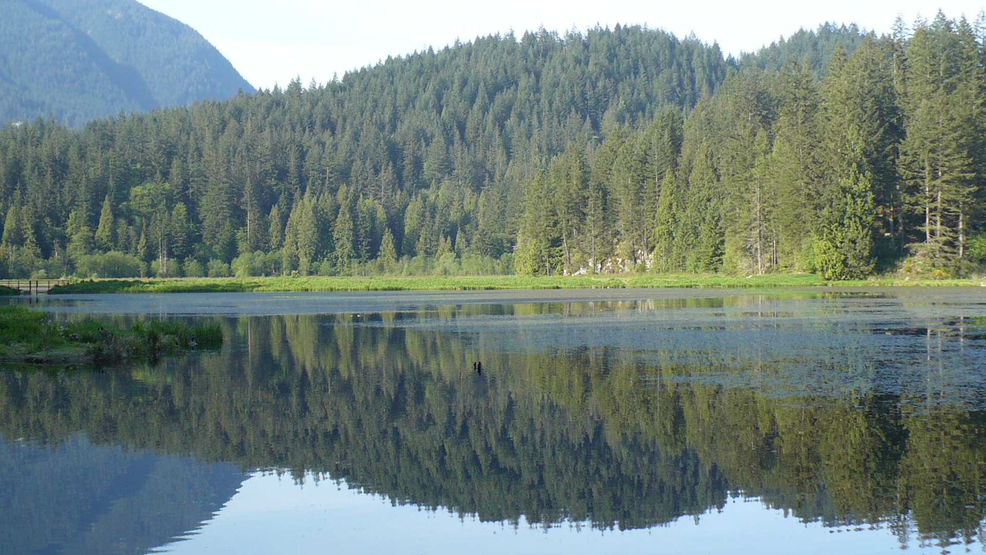
Photo: Minnekhada Regional Park, Port Coquitlam - panoramio - Colin W by Colin W, CC BY-SA 3.0, via Wikimedia Commons.
Add a review