
Advertisement
Description
The Sea to Summit Trail climbs from sea level near Shannon Falls to the top of the Sea to Sky Gondola, with views of the Chief and Howe Sound and a gondola ride down.
The trail is from the base of the Sea to Sky Gondola near Squamish. Here is what to know before you go: distance, elevation, difficulty, how to get to the trailhead and safety tips.
Sea to Summit Trail at a glance
- Distance: about 7.5 km one way
- Elevation gain: about 920 m
- Time: 3–5 hours up
- Difficulty: Hard
- Route type: One way up; ride the Sea to Sky Gondola down (paid)
- Best season: Late spring to fall
- Dogs: Allowed on leash (check gondola rules for dogs)
Distances and times are approximate; conditions change with weather and season.
What to expect on the trail
The trail starts near the gondola base, passes Shannon Falls and climbs steeply through forest with sections of rock, cables and stairs to the Summit Lodge, where you can eat, explore the suspension bridge and buy a download ticket.
Getting to the trailhead
The trailhead is at Sea to Sky Gondola, 36800 Highway 99, Squamish. Drive to the Sea to Sky Gondola base on Highway 99 just south of Squamish.
Tips and safety
- Buy a download ticket online in advance if possible.
- Bring enough water; it is a big climb.
- Check the gondola's hours so you do not miss the last ride down.
- Check weather, trail status and daylight before you go, and turn back if conditions change.
- Carry the 10 essentials, including water, food, layers, a light and a phone, and tell someone your plan.
- Black bears live in North Shore and Fraser Valley forests; make noise and never feed wildlife.
Sea to Summit Trail: frequently asked questions
How long is the Sea to Summit Trail?
The Sea to Summit Trail is about 7.5 km one way, with about 920 m of elevation gain. Most hikers take 3–5 hours up.
How hard is the Sea to Summit Trail?
It is rated hard. One way up; ride the Sea to Sky Gondola down (paid).
Can you hike down the Sea to Summit Trail?
You can, but most hikers ride the gondola down because the descent is steep and hard on the knees.
Planning more hikes? See our guide to the best hiking trails in Metro Vancouver.
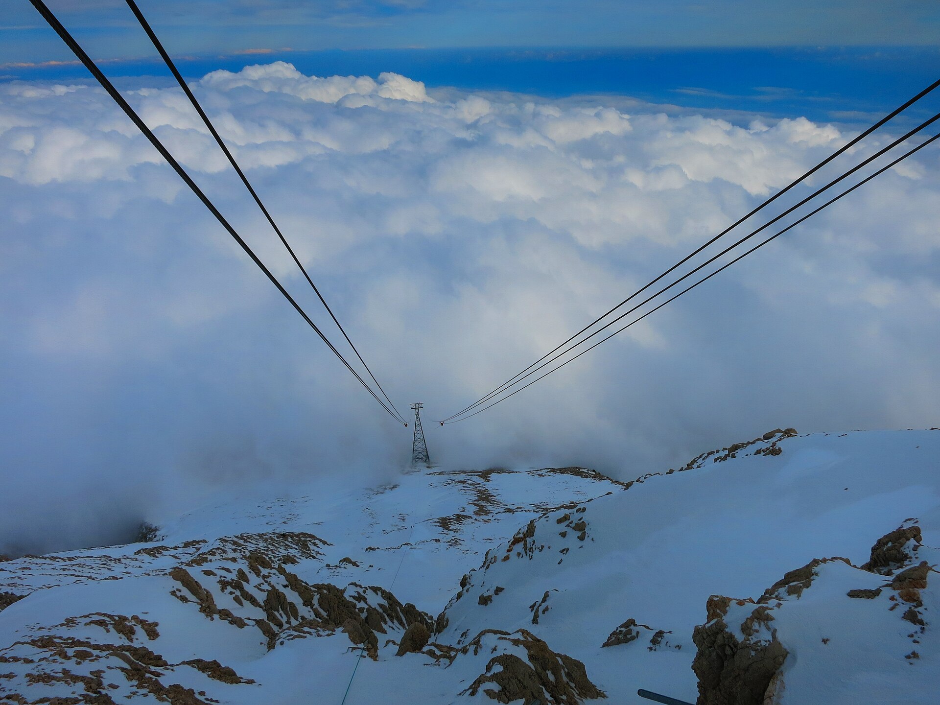
Photo: Wireway from heaven by Maasaak, CC BY-SA 4.0, via Wikimedia Commons.
Add a review