02 The story
Richmond’s downtown along No. 3 Road
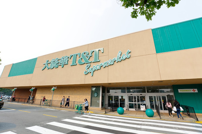
The city centre grew up around No. 3 Road, the main north-south artery of Lulu Island. What was once a strip of car dealerships and low malls has been steadily rebuilt since the Canada Line opened in 2009, and today the area is a mix of shopping centres, offices, hotels and new residential towers.
City Hall, the main branch of the Richmond Public Library and the Richmond Cultural Centre sit close together near Minoru Park, which has sports fields, a lake and the Minoru Centre for Active Living. Richmond Centre and Lansdowne Centre anchor the shopping, and Kwantlen Polytechnic University has a campus near Lansdowne station.
The Oval and the river
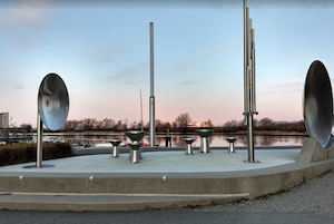
On the north edge of the centre, the Richmond Olympic Oval sits on the Middle Arm of the Fraser River. Built for speed skating at the 2010 Winter Games, it is now a busy community fitness and sports facility and houses the Olympic Experience, a hands-on sports museum. The Middle Arm Greenway runs along the water beside it, a good flat walk with views of planes landing at YVR across the river.
East of No. 4 Road, the Garden City Lands are a large open space of bog and farmland that the city is turning into a park and agricultural area. It gives the centre an unexpected patch of sky and quiet.
The city centre suits renters, students and commuters who want to live near transit, as well as visitors looking for hotels near the airport. Weekends bring crowds to the malls and restaurants, so arrive early if you plan to eat at a popular spot. Parking is mostly in mall lots and parkades; the SkyTrain is usually easier.